



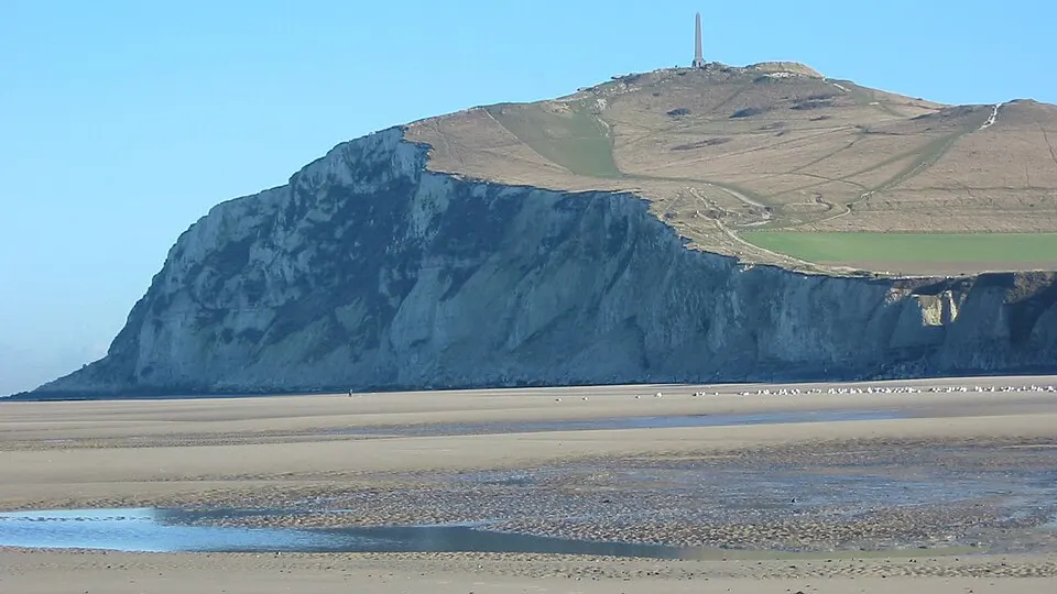
 Photo: Donarreiskoffer · CC BY-SA 3.0 · Wikimedia Commons
Trail RunningWalking & Hiking
Trail of the Eagles
 Gouvieux, France
March 21, 2027Date confirmed
16 km9 km
Eco-FriendlyLakes & Ponds+4
FRTrail Running · Oise · 28 Events · 138 Races
28 verified events with 138 individual races (2 confirmed dates) in Oise complete with route maps and elevation profiles.
Selected Events
Photo: Donarreiskoffer · CC BY-SA 3.0 · Wikimedia CommonsGouvieux, France
March 21, 2027Date confirmed
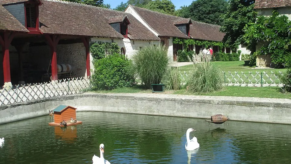 Photo: Avi1111 dr. avishai teicher · CC BY-SA 4.0 · Wikimedia Commons
Orry-la-ville, France
Date to be announcedDate TBA
Photo: Avi1111 dr. avishai teicher · CC BY-SA 4.0 · Wikimedia CommonsVerneuil-en-Halatte, France
Date to be announcedDate TBA
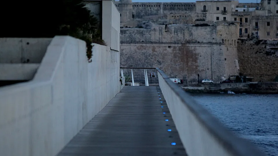 Photo: Frank Vincentz · CC BY-SA 3.0 · Wikimedia Commons
La Neuville-sur-Ressons, France
Date to be announcedDate TBA
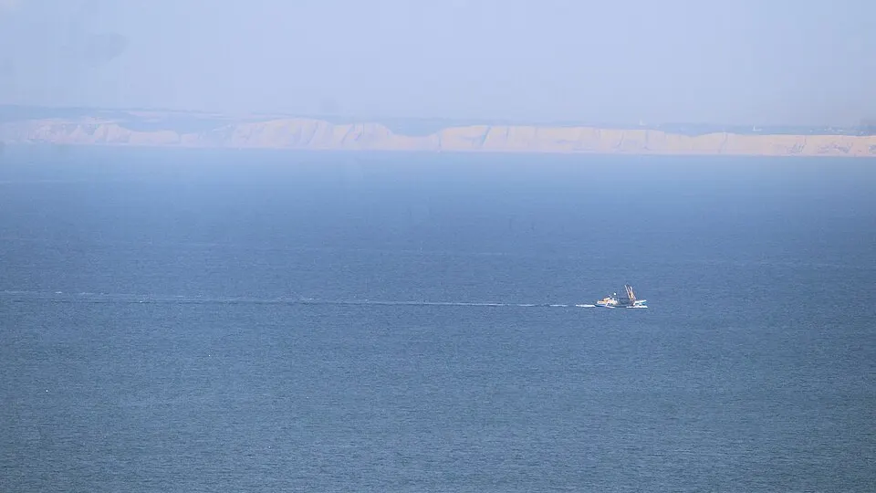 Photo: Dguendel · CC BY 4.0 · Wikimedia Commons
Fleurines, France
Date to be announcedDate TBA
Photo: Donarreiskoffer · CC BY-SA 3.0 · Wikimedia CommonsThiescourt, France
Date to be announcedDate TBA
Photo: Donarreiskoffer · CC BY-SA 3.0 · Wikimedia CommonsChoisy-au-Bac, France
Date to be announcedDate TBA
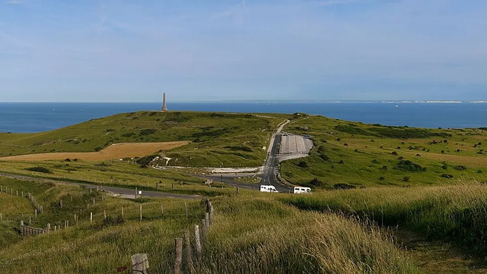 Photo: Jörg Braukmann · CC BY-SA 4.0 · Wikimedia Commons
Vendeuil-Caply, France
Date to be announcedDate TBA
Dates & Schedule
| Date | Event | Location | Disciplines | Distances |
|---|---|---|---|---|
| Mar 21, 2027 | Trail of the Eagles | Gouvieux, Hauts-de-France, FR | Trail RunningWalking & Hiking | 16 km9 km |
| Date | Event | Location | Disciplines | Distances |
|---|---|---|---|---|
| Date to be announced | L'Orrygeoise | Orry-la-ville, Hauts-de-France, FR | Trail RunningWalking & Hiking | 42.2 km21 km10 km5 km |
| Date to be announced | Trail du Château de Verneuil | Verneuil-en-Halatte, Hauts-de-France, FR | Trail RunningWalking & Hiking | 30 km15 km10 km5 km |
| Date to be announced | La Neuvilloise | La Neuville-sur-Ressons, Hauts-de-France, FR | Trail RunningWalking & Hiking | 15 km10 km5 km |
| Date to be announced | Running les P'tites Lucioles | Fleurines, Hauts-de-France, FR | Trail RunningWalking & Hiking | 12 km7 km |
| Date to be announced | Trail de la ligne rouge | Thiescourt, Hauts-de-France, FR | Trail Running | 100 km40 km20 km10 km |
| Date to be announced | Ultra-Trail Oise Cosacienne | Choisy-au-Bac, Hauts-de-France, FR | Trail Running | 110 km55 km20 km10 km |
| Date to be announced | La Gallo-Romaine | Vendeuil-Caply, Hauts-de-France, FR | Trail RunningWalking & Hiking | 21 km14 km8 km |
| Date to be announced | La 1418 Noctrail | Noyon, Hauts-de-France, FR | Trail RunningWalking & Hiking | 24 km16 km10 km8 km |
| Date to be announced | Trail des P'tites Lucioles | Saint-Germain-la-Poterie, Hauts-de-France, FR | Trail RunningNordic Walking | 17 km12 km |
| Date to be announced | Royale Run | Chaumont-en-Vexin, Hauts-de-France, FR | Obstacle Course Racing | 8 km2.5 km |
| Date to be announced | Foulées de l'Ardente | Vineuil-Saint-Firmin, Hauts-de-France, FR | Trail RunningWalking & Hiking | 15 km10 km5 km |
Overview & Route Character
Off-road running on singletrack, forest paths, and alpine ridges, spanning short discovery trails to high-mountain ultra-trails. Trail running is defined by elevation gain, technical terrain, and natural landscapes across forest singletrack, coastal cliffs, and mountain passes. In this Trail Running in Oise directory, RunningCompass curates 28 events comprising 138 individual races, including 2 events with confirmed upcoming dates.
Courses span distances ranging from 0.8 km to 110 km and elevation gains up to +3,000 m. Key host locations include Gouvieux, Orry-la-ville, Verneuil-en-Halatte, La Neuville-sur-Ressons. Notable events in this selection include Trail of the Eagles, L'Orrygeoise, Trail du Château de Verneuil.
This overview currently includes 28 verified events featuring 138 individual races. Of these, 2 events have confirmed upcoming dates on the calendar, while 26 events await next edition date confirmation from the organizer.
Races in this selection span distances of 0.8 km to 110 km. The most demanding courses reach up to +3,000 m of positive elevation gain. Featured disciplines include Trail Running, Walking & Hiking, Road Running.
Top host locations include Gouvieux, Orry-la-ville, Verneuil-en-Halatte, La Neuville-sur-Ressons, Fleurines. Representative events in the catalog include Trail of the Eagles, L'Orrygeoise, Trail du Château de Verneuil, La Neuvilloise. Off-road running on singletrack, forest paths, and alpine ridges, spanning short discovery trails to high-mountain ultra-trails.
Every event profile provides an interactive route map, a detailed elevation chart across all 138 races, and a GPX track download. You can also switch directly to the interactive map explorer to filter by date range and distance.