




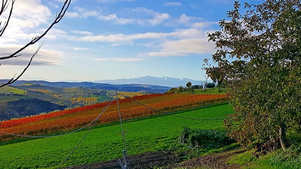
 Photo: Luigi936 · CC BY-SA 4.0 · Wikimedia Commons
Trail RunningWalking & HikingUTMB Index Races
Trail de la Grande Champagne
 Segonzac, France
June 19, 2027Date confirmed
80 km55 km30 km15 km+2
ForestKids & Youth Races+4
FRTrail Running · Ultra-Trails · Nouvelle-Aquitaine · 11 Events · 78 Races
11 verified events with 78 individual races (2 confirmed dates) in Nouvelle-Aquitaine complete with route maps and elevation profiles.
Selected Events
Photo: Luigi936 · CC BY-SA 4.0 · Wikimedia CommonsSegonzac, France
June 19, 2027Date confirmed
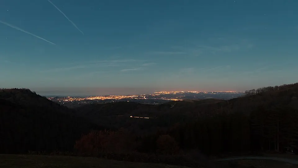 Photo: Grand Parc - Bordeaux, France from France · CC BY 2.0 · Wikimedia Commons
Hendaye, France
August 1, 2027 to August 8, 2027Date confirmed
 Photo: Fab5669 · CC BY-SA 4.0 · Wikimedia Commons
Bort-les-Orgues, France
Date to be announcedDate TBA
 Photo: Frank Vincentz · CC BY-SA 3.0 · Wikimedia Commons
Pons, France
Date to be announcedDate TBA
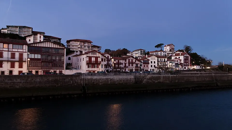 Photo: Grand Parc - Bordeaux, France from France · CC BY 2.0 · Wikimedia Commons
Montbron, France
Date to be announcedDate TBA
Photo: Grand Parc - Bordeaux, France from France · CC BY 2.0 · Wikimedia CommonsArgentat-sur-Dordogne, France
Date to be announcedDate TBA
Photo: Grand Parc - Bordeaux, France from France · CC BY 2.0 · Wikimedia CommonsAngoulême, France
Date to be announcedDate TBA
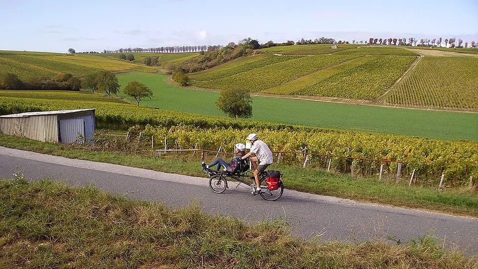 Photo: Cjp24 · CC BY-SA 4.0 · Wikimedia Commons
Saint-Émilion, France
Date to be announcedDate TBA
Dates & Schedule
| Date | Event | Location | Disciplines | Distances |
|---|---|---|---|---|
| Jun 19, 2027 | Trail de la Grande Champagne | Segonzac, Nouvelle-Aquitaine, FR | Trail RunningWalking & Hiking | 80 km55 km30 km15 km |
| Date | Event | Location | Disciplines | Distances |
|---|---|---|---|---|
| Aug 1, 2027 - Aug 8, 2027 | The TransPyreneA - 100% Basque | Hendaye, Nouvelle-Aquitaine, FR | Trail Running | 900 km454 km404 km200 km |
| Date | Event | Location | Disciplines | Distances |
|---|---|---|---|---|
| Date to be announced | Aquaterra | Bort-les-Orgues, Nouvelle-Aquitaine, FR | Trail RunningWalking & Hiking | 85 km50 km40 km27 km |
| Date to be announced | Ultra Trail de Pons | Pons, Nouvelle-Aquitaine, FR | Trail RunningWalking & Hiking | 107 km88 km73 km55 km |
| Date to be announced | Trail des Gorges du Chambon et du Montbronnais | Montbron, Nouvelle-Aquitaine, FR | Trail RunningRoad Running | 86 km42 km30 km19 km |
| Date to be announced | X Trail Corrèze Dordogne | Argentat-sur-Dordogne, Nouvelle-Aquitaine, FR | Trail RunningWalking & Hiking | 80 km55 km30 km26 km |
| Date to be announced | Angoulême Urban Trail | Angoulême, Nouvelle-Aquitaine, FR | Trail RunningWalking & Hiking | 82 km43.3 km21 km13.5 km |
| Date to be announced | Trail de Saint-Émilion | Saint-Émilion, Nouvelle-Aquitaine, FR | Trail Running | 80 km45 km25 km15 km |
| Date to be announced | Périgord Grand Trail | Lalinde, Nouvelle-Aquitaine, FR | Trail RunningWalking & Hiking | 88 km44 km27 km16 km |
| Date to be announced | Euskal Trails | Saint-Étienne-de-Baïgorry, Nouvelle-Aquitaine, FR | Trail Running | 133 km80 km50 km27 km |
| Date to be announced | Ultra Trail de l'Île d'Oléron | Le Château-d'Oléron, Nouvelle-Aquitaine, FR | Trail RunningWalking & Hiking | 100 km11 km |
Overview & Route Character
Ultra-trails span from 50 km to over 160 km across mountain ranges and natural parks, requiring mandatory gear, night running skills, and self-sufficiency. Off-road running on singletrack, forest paths, and alpine ridges, spanning short discovery trails to high-mountain ultra-trails. In this Ultra-Trails in Nouvelle-Aquitaine directory, RunningCompass curates 11 events comprising 78 individual races, including 2 events with confirmed upcoming dates.
Courses span distances ranging from 7 km to 900 km and elevation gains up to +34,200 m. Key host locations include Segonzac, Hendaye, Bort-les-Orgues, Pons. Notable events in this selection include Trail de la Grande Champagne, The TransPyreneA - 100% Basque, Aquaterra.
This overview currently includes 11 verified events featuring 78 individual races. Of these, 2 events have confirmed upcoming dates on the calendar, while 9 events await next edition date confirmation from the organizer.
Races in this selection span distances of 7 km to 900 km. The most demanding courses reach up to +34,200 m of positive elevation gain. Featured disciplines include Trail Running, Walking & Hiking, Swimrun.
Top host locations include Segonzac, Hendaye, Bort-les-Orgues, Pons, Montbron. Representative events in the catalog include Trail de la Grande Champagne, The TransPyreneA - 100% Basque, Aquaterra, Ultra Trail de Pons. Ultra-trails span from 50 km to over 160 km across mountain ranges and natural parks, requiring mandatory gear, night running skills, and self-sufficiency.
Every event profile provides an interactive route map, a detailed elevation chart across all 78 races, and a GPX track download. You can also switch directly to the interactive map explorer to filter by date range and distance.