




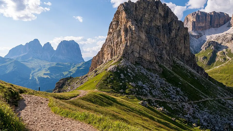
 Photo: Bops92 · CC BY-SA 4.0 · Wikimedia Commons
Trail Running
TOR X
 Courmayeur, Italy
September 10, 2027 to September 19, 2027Date confirmed
450 km330 km130 km100 km+1
High AltitudeMountain+3
ITTrail Running · Ultra-Trails · Aosta Valley · 12 Events · 46 Races
12 verified events with 46 individual races (10 confirmed dates) in Aosta Valley complete with route maps and elevation profiles.
Selected Events
Photo: Bops92 · CC BY-SA 4.0 · Wikimedia CommonsCourmayeur, Italy
September 10, 2027 to September 19, 2027Date confirmed
Photo: Bops92 · CC BY-SA 4.0 · Wikimedia CommonsAosta, Italy
Date to be announcedDate TBA
 Photo: Frank Vincentz · CC BY-SA 3.0 · Wikimedia Commons
Courmayeur, Italy
Date to be announcedDate TBA
Photo: Bops92 · CC BY-SA 4.0 · Wikimedia CommonsCarrè, Italy
November 15, 2026Date confirmed
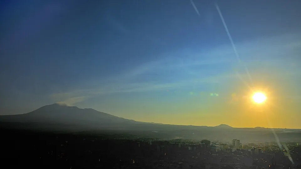 Photo: gnuckx · CC BY 2.0 · Wikimedia Commons
Ragalna, Italy
November 22, 2026Date confirmed
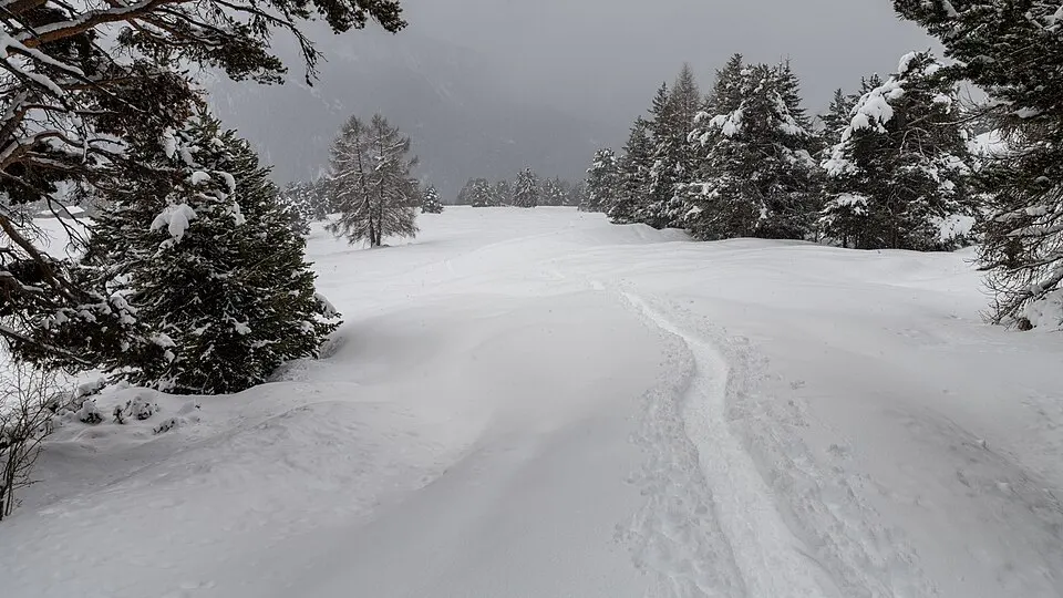 Photo: Christoph Strässler · CC BY-SA 2.0 · Wikimedia Commons
Sistiana, Italy
January 9, 2027 to January 10, 2027Date confirmed
Photo: Christoph Strässler · CC BY-SA 2.0 · Wikimedia CommonsMalga Saisera, Italy
February 7, 2027Date confirmed
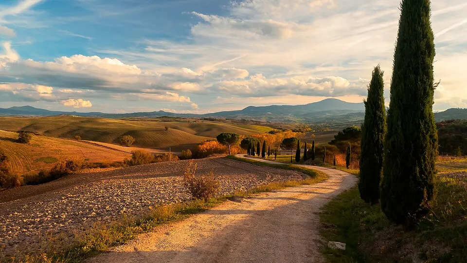 Photo: Fabrizio Lunardi · CC0 1.0 · Wikimedia Commons
Marina di Carrara, Italy
February 13, 2027 to February 14, 2027Date confirmed
Dates & Schedule
| Date | Event | Location | Disciplines | Distances |
|---|---|---|---|---|
| Sep 10, 2027 - Sep 19, 2027 | TOR X | Courmayeur, Aosta Valley, IT | Trail Running | 450 km330 km130 km100 km |
| Date | Event | Location | Disciplines | Distances |
|---|---|---|---|---|
| Date to be announced | Monte Rosa Walserwaeg by UTMB | Aosta, Aosta Valley, IT | Trail Running | 120 km82 km43 km15 km |
| Date to be announced | Gran Trail Courmayeur | Courmayeur, Aosta Valley, IT | Trail Running | 100 km55 km30 km |
| Date | Event | Location | Disciplines | Distances |
|---|---|---|---|---|
| Nov 15, 2026 | Piccolo Trail delle Bregonze | Carrè, Veneto, IT | Trail Running | 25 km15 km |
| Nov 22, 2026 | Gran Trail dell'Etna | Ragalna, Sicily, IT | Trail Running | 42 km18 km |
| Date | Event | Location | Disciplines | Distances |
|---|---|---|---|---|
| Jan 9, 2027 - Jan 10, 2027 | S1 Trail La Corsa Della Bora | Sistiana, Friuli Venezia Giulia, IT | Trail Running | 116 km61 km55 km36 km |
| Date | Event | Location | Disciplines | Distances |
|---|---|---|---|---|
| Feb 7, 2027 | Alpe Adria Winter Trail | Malga Saisera, Friuli Venezia Giulia, IT | Trail Running | 25 km18 km10 km8 km |
| Feb 13, 2027 - Feb 14, 2027 | White Marble Marathon | Marina di Carrara, Tuscany, IT | Road RunningTrail Running | 42.2 km32 km21.1 km14 km |
| Feb 15, 2027 - Feb 20, 2027 | Sila3Vette Winter Challenger | Camigliatello Silano, Calabria, IT | Nordic WalkingTrail Running | 400 km260 km100 km40 km |
| Date | Event | Location | Disciplines | Distances |
|---|---|---|---|---|
| Mar 18, 2027 - Mar 21, 2027 | Chianti Ultra Trail by UTMB | Radda in Chianti, Tuscany, IT | Trail Running | 123 km75 km46 km20 km |
| Mar 20, 2027 | SciaccheTrail | Monterosso al Mare, Liguria, IT | Trail Running | 47 km |
| Date | Event | Location | Disciplines | Distances |
|---|---|---|---|---|
| Apr 3, 2027 | Venice Night Trail | Venice, Veneto, IT | Trail Running | 16.5 km |
Overview & Route Character
Ultra-trails span from 50 km to over 160 km across mountain ranges and natural parks, requiring mandatory gear, night running skills, and self-sufficiency. Off-road running on singletrack, forest paths, and alpine ridges, spanning short discovery trails to high-mountain ultra-trails. In this Ultra-Trails in Aosta Valley directory, RunningCompass curates 12 events comprising 46 individual races, including 10 events with confirmed upcoming dates.
Courses span distances ranging from 4 km to 450 km and elevation gains up to +32,000 m. Key host locations include Courmayeur, Aosta, Carrè, Ragalna. Notable events in this selection include TOR X, Monte Rosa Walserwaeg by UTMB, Gran Trail Courmayeur.
This overview currently includes 12 verified events featuring 46 individual races. Of these, 10 events have confirmed upcoming dates on the calendar, while 2 events await next edition date confirmation from the organizer.
Races in this selection span distances of 4 km to 450 km. The most demanding courses reach up to +32,000 m of positive elevation gain. Featured disciplines include Trail Running, Road Running, Walking & Hiking.
Top host locations include Courmayeur, Aosta, Carrè, Ragalna, Sistiana. Representative events in the catalog include TOR X, Monte Rosa Walserwaeg by UTMB, Gran Trail Courmayeur, Piccolo Trail delle Bregonze. Ultra-trails span from 50 km to over 160 km across mountain ranges and natural parks, requiring mandatory gear, night running skills, and self-sufficiency.
Every event profile provides an interactive route map, a detailed elevation chart across all 46 races, and a GPX track download. You can also switch directly to the interactive map explorer to filter by date range and distance.