




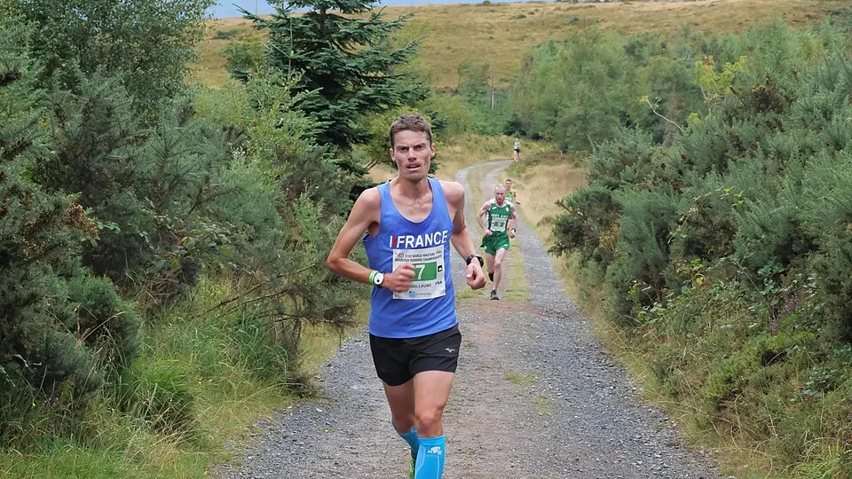
 Photo: Athetics123 · CC BY-SA 4.0 · Wikimedia Commons
Trail RunningUTMB Index Races
Vars Mountain Trail
 Vars, France
July 23, 2027 to July 25, 2027Date confirmed
55.7 km42 km24 km10 km+3
Nature & Off-RoadMountain+4
FRDepartment & Local Running Guide
53 verified events (9 confirmed dates) and 287 races in Races in the Hautes-Alpes with course maps and elevation profiles.
Selected Events
Photo: Athetics123 · CC BY-SA 4.0 · Wikimedia CommonsVars, France
July 23, 2027 to July 25, 2027Date confirmed
 Photo: Fukumoto · CC BY-SA 4.0 · Wikimedia Commons
Orcières-Merlette, France
August 8, 2027Date confirmed
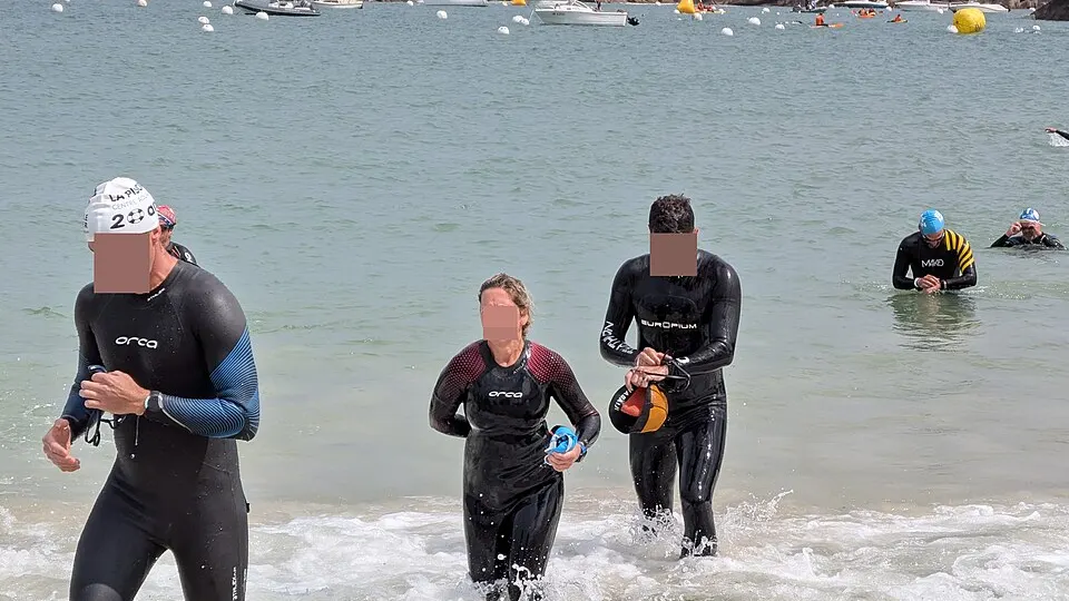 Photo: Syced · CC0 1.0 · Wikimedia Commons
Embrun, France
August 15, 2027Date confirmed
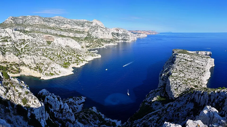 Photo: Tobi 87 · CC BY-SA 3.0 · Wikimedia Commons
L'Argentière-la-Bessée, France
Date to be announcedDate TBA
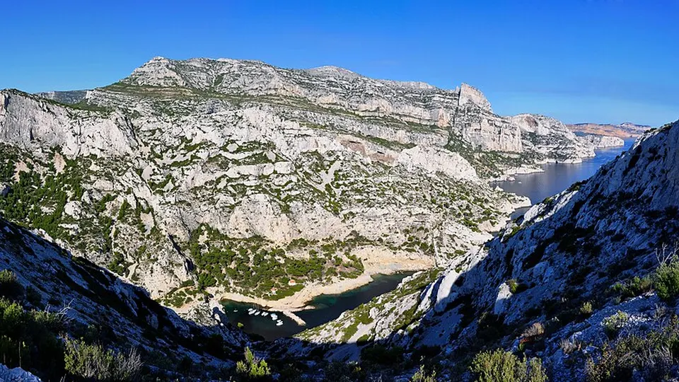 Photo: Tobi 87 · CC BY-SA 3.0 · Wikimedia Commons
Chorges, France
Date to be announcedDate TBA
Photo: Tobi 87 · CC BY-SA 3.0 · Wikimedia CommonsVallouise, France
Date to be announcedDate TBA
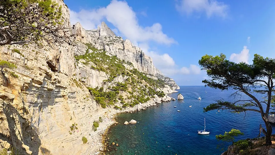 Photo: Tobi 87 · CC BY-SA 3.0 · Wikimedia Commons
Guillestre, France
Date to be announcedDate TBA
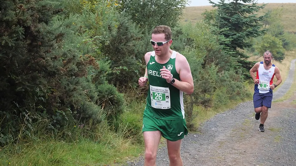 Photo: Athetics123 · CC BY-SA 4.0 · Wikimedia Commons
Villar-Saint-Pancrace, France
Date to be announcedDate TBA
Dates & Schedule
| Date | Event | Location | Disciplines | Distances |
|---|---|---|---|---|
| Jul 23, 2027 - Jul 25, 2027 | Vars Mountain Trail | Vars, Provence-Alpes-Côte d’Azur, FR | Trail Running | 55.7 km42 km24 km10 km |
| Date | Event | Location | Disciplines | Distances |
|---|---|---|---|---|
| Aug 8, 2027 | GF Orcières | Orcières-Merlette, Provence-Alpes-Côte d’Azur, FR | Road Cycling | 134 km78 km48 km |
| Aug 15, 2027 | Embrunman | Embrun, Provence-Alpes-Côte d’Azur, FR | Triathlon | 231 km55.5 km |
| Date | Event | Location | Disciplines | Distances |
|---|---|---|---|---|
| Date to be announced | Trail de la Haute Durance | L'Argentière-la-Bessée, Provence-Alpes-Côte d’Azur, FR | Trail Running | 31 km17 km10 km3.8 km |
| Date to be announced | La Foulée Caturige | Chorges, Provence-Alpes-Côte d’Azur, FR | Trail RunningWalking & Hiking | 33 km20 km14 km9 km |
| Date to be announced | Grand Trail des Écrins | Vallouise, Provence-Alpes-Côte d’Azur, FR | Trail RunningWalking & Hiking | 57 km34 km23 km11 km |
| Date to be announced | The Grand Raid of the Guillestrois and the Queyras | Guillestre, Provence-Alpes-Côte d’Azur, FR | Trail Running | 170 km105 km90 km65 km |
| Date to be announced | The Hautes-Alpes Autumnal | Villar-Saint-Pancrace, Provence-Alpes-Côte d'Azur, FR | Trail Running | 55 km30 km23 km13 km |
| Date to be announced | Oule Uphill | Veynes, Provence-Alpes-Côte d’Azur, FR | Trail Running | 10 km5 km3 km2 km |
| Date to be announced | Montgenèvre Sky Race | Montgenèvre, Provence-Alpes-Côte d’Azur, FR | Trail Running | 40 km28 km15 km6 km |
| Date to be announced | The Trails of the Lakes of Orcières | Orcières, Provence-Alpes-Côte d’Azur, FR | Trail RunningWalking & Hiking | 40 km25 km10 km3.3 km |
| Date to be announced | Skyrace Les Orres | Les Orres, Provence-Alpes-Côte d’Azur, FR | Trail Running | 22.9 km8.4 km5 km2.4 km |
Overview & Route Character
The administrative area of Races in the Hautes-Alpes (Provence-Alpes-Côte d'Azur Region, Hautes-Alpes, France) is represented in the RunningCompass catalog with 53 public events and 287 individual races, including 9 events with confirmed dates for the 2026-2027 season. Core disciplines include Trail Running, Walking & Hiking, and Road Cycling. Key host locations include Vars, Orcières-Merlette, Embrun, and L'Argentière-la-Bessée. Notable events in the selection include Vars Mountain Trail, GF Orcières, and Embrunman.
Race distances span from 0.5 km to 231 km, reaching up to +11,000 m of elevation gain on the most demanding courses. Every race listed for Races in the Hautes-Alpes includes an interactive MapLibre course map powered by OpenStreetMap, a high-resolution SVG elevation profile with gradient telemetry, and a direct GPX track download.
RunningCompass currently lists 53 verified events with 287 individual races in Races in the Hautes-Alpes. A total of 9 events have confirmed upcoming dates, while additional annual editions include full course and distance specifications. Notable events in the selection include Vars Mountain Trail, GF Orcières, and Embrunman.
Events in Races in the Hautes-Alpes focus on Trail Running, Walking & Hiking, and Road Cycling. Course distances range from 0.5 km entry-level races up to 231 km endurance challenges. Primary host cities and towns include Vars, Orcières-Merlette, Embrun, and L'Argentière-la-Bessée.
The most selective courses in Races in the Hautes-Alpes climb up to +11,000 m of positive elevation gain. Each event page provides exact altitude range, ascent (+m), descent (-m), average and maximum gradient, an interactive course map, and a downloadable GPX file.
The monthly race calendar on this page groups all confirmed dates chronologically alongside annual events awaiting their next date announcement. Use the discipline, distance, and month links or switch to the interactive map view (/en/events?view=map) to inspect individual event profiles and official organizer registration links.