



La Course
Trail Running and Walking & Hiking covering 6.4 km to 12.6 km with up to 220 m D+ in Morières-lès-Avignon (Provence-Alpes-Côte d'Azur, France)
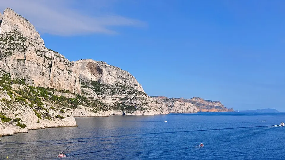
La Course is an endurance sporting event in Morières-lès-Avignon, Provence-Alpes-Côte d’Azur, FR focused on Trail Running and Walking & Hiking. Key features include Nature & Off-Road, Seaside & Coast.
The race program comprises 3 competitions, including Course 13 km Challenge Vauclusien (12.6 km, +220 m D+), Walk 8 km (8.4 km, +150 m D+), and Course 6 km (6.4 km, +100 m D+). The next edition is officially confirmed for December 5, 2026. Official race regulations, course details, and registration information are provided on the organizer's website (couriramorieres.org).
Event characteristics
Races & distances (3)
| Competition | Discipline | Distance | Elevation gain | Altitude range | Course type | Course & profile |
|---|---|---|---|---|---|---|
| Course 13 km Challenge Vauclusien | Trail Running | 12.6 km | +220 m | 29 m - 121 m | Loop course | Route & profile |
| Walk 8 km | Walking & Hiking | 8.4 km | +150 m | 32 m - 95 m | Loop course | Route & profile |
| Course 6 km | Trail Running | 6.4 km | +100 m | 35 m - 77 m | Loop course | Route & profile |
Course route & map
Elevation profile & course telemetry
Altitude from 29 m to 121 m above sea level (+220 m D+, -220 m D-)
Elevation profile & course telemetry
Altitude from 32 m to 95 m above sea level (+150 m D+, -150 m D-)
Elevation profile & course telemetry
Altitude from 35 m to 77 m above sea level (+100 m D+, -100 m D-)
Frequently asked questions (FAQ)
When and where does La Course take place?
La Course takes place in Morières-lès-Avignon, Provence-Alpes-Côte d’Azur, FR (start area at coordinates 43.9418° N, 4.898° E). The next edition is officially confirmed for December 5, 2026.
What races and distances are offered at La Course?
The race program comprises 3 competitions, including Course 13 km Challenge Vauclusien (12.6 km, +220 m D+), Walk 8 km (8.4 km, +150 m D+), and Course 6 km (6.4 km, +100 m D+). The competitions belong to Trail Running and Walking & Hiking.
What is the course layout and elevation profile for La Course?
The main competition (Course 13 km Challenge Vauclusien over 12.6 km) is designed as a loop course featuring +220 m of elevation gain and -220 m of elevation loss, ranging between 29 m and 121 m above sea level. An interactive course map with route visualization, elevation profile, and GPX export is available in the course section on this page.
Where can I find registration and official race rules for La Course?
Official race regulations, course details, and registration information are provided on the organizer's website (couriramorieres.org).