




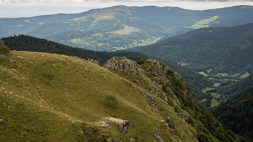
 Photo: Nicolas Torquet · CC BY-SA 3.0 · Wikimedia Commons
Road Running
10 Km La Ronde Hivernale
 Thaon-les-Vosges, France
December 20, 2026Date confirmed
10 km
City RunNature & Off-Road+1
FRRoad Running · Vosges · 12 Events · 56 Races
12 verified events with 56 individual races (8 confirmed dates) in Vosges complete with route maps and elevation profiles.
Selected Events
Photo: Nicolas Torquet · CC BY-SA 3.0 · Wikimedia CommonsThaon-les-Vosges, France
December 20, 2026Date confirmed
Photo: Nicolas Torquet · CC BY-SA 3.0 · Wikimedia CommonsNeufchâteau, France
Date to be announcedDate TBA
Photo: Nicolas Torquet · CC BY-SA 3.0 · Wikimedia CommonsCapavenir Vosges, France
Date to be announcedDate TBA
Photo: Nicolas Torquet · CC BY-SA 3.0 · Wikimedia CommonsRemiremont, France
Date to be announcedDate TBA
Photo: Nicolas Torquet · CC BY-SA 3.0 · Wikimedia CommonsÉpinal, France
Date to be announcedDate TBA
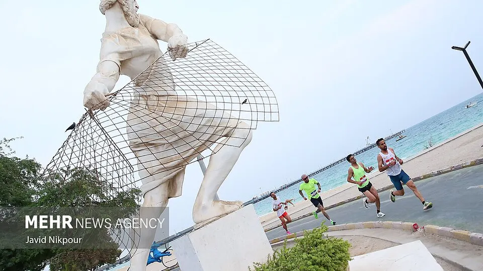 Photo: Javid Nikpour / Mehr News Agency · CC BY 4.0 · Wikimedia Commons
Angers, France
November 11, 2026Date confirmed
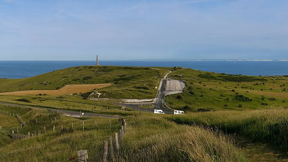 Photo: Jörg Braukmann · CC BY-SA 4.0 · Wikimedia Commons
Saint-Quentin, France
November 11, 2026Date confirmed
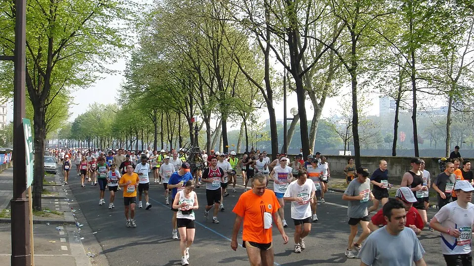 Photo: gadl · CC BY-SA 2.0 · Wikimedia Commons
Paris, France
November 11, 2026Date confirmed
Dates & Schedule
| Date | Event | Location | Disciplines | Distances |
|---|---|---|---|---|
| Dec 20, 2026 | 10 Km La Ronde Hivernale | Thaon-les-Vosges, Grand Est, FR | Road Running | 10 km |
| Date | Event | Location | Disciplines | Distances |
|---|---|---|---|---|
| Date to be announced | Les Foulées Vitteloises | Neufchâteau, Grand Est, FR | Road Running | 10 km4.6 km2.7 km850 m |
| Date to be announced | La Ronde Printanière | Capavenir Vosges, Grand Est, FR | Road Running | 21.1 km10 km |
| Date to be announced | Corrida des Abbesses - Trail la 14/18 | Remiremont, Grand Est, FR | Trail RunningRoad Running | 9.2 km7.3 km |
| Date to be announced | Les foulées roses Spinaliennes | Épinal, Grand Est, FR | Road RunningWalking & Hiking | 6 km |
| Date | Event | Location | Disciplines | Distances |
|---|---|---|---|---|
| Nov 11, 2026 | Cross du Courrier de l'Ouest et de la ville d'Angers | Angers, Pays de la Loire, FR | Road RunningTrail Running | 10.52 km8.58 km6.88 km4.3 km |
| Nov 11, 2026 | Les Boucles Saint-Quentinoise | Saint-Quentin, Hauts-de-France, FR | Road Running | 10 km5 km2 km950 m |
| Nov 11, 2026 | 5km Matmut - Demain le Sport | Paris, Île-de-France, FR | Road Running | 5 km |
| Nov 13, 2026 - Nov 14, 2026 | Semi-Marathon de la Vente des Vins des Hospices de Beaune | Beaune, Bourgogne-Franche-Comté, FR | Road RunningNordic Walking | 21.1 km10.4 km10 km8 km |
| Nov 14, 2026 - Nov 15, 2026 | Deauville International Marathon | Deauville, Normandy, FR | Road Running | 42.2 km21.1 km10 km900 m |
| Nov 14, 2026 | Beaujo Run'in Rock | Saint-Georges-de-Reneins, Auvergne-Rhône-Alpes, FR | Road RunningWalking & Hiking | 13 km6.66 km1.3 km666 m |
| Nov 14, 2026 | Cognac Marathon | Jarnac, Nouvelle-Aquitaine, FR | Road Running | 42.2 km21.1 km10.5 km5 km |
Overview & Route Character
Measured asphalt and city courses ranging from fast 5K and 10K races to international half marathons, marathons, and 100K road ultras. Road running events feature paved surfaces, exact kilometer markers, and structured aid stations, making them ideal for both first-time runners and personal best attempts. In this Road Running in Vosges directory, RunningCompass curates 12 events comprising 56 individual races, including 8 events with confirmed upcoming dates.
Courses span distances ranging from 0.5 km to 42.2 km and elevation gains up to +300 m. Key host locations include Thaon-les-Vosges, Neufchâteau, Capavenir Vosges, Remiremont. Notable events in this selection include 10 Km La Ronde Hivernale, Les Foulées Vitteloises, La Ronde Printanière.
This overview currently includes 12 verified events featuring 56 individual races. Of these, 8 events have confirmed upcoming dates on the calendar, while 4 events await next edition date confirmation from the organizer.
Races in this selection span distances of 0.5 km to 42.2 km. The most demanding courses reach up to +300 m of positive elevation gain. Featured disciplines include Road Running, Trail Running, Walking & Hiking.
Top host locations include Thaon-les-Vosges, Neufchâteau, Capavenir Vosges, Remiremont, Épinal. Representative events in the catalog include 10 Km La Ronde Hivernale, Les Foulées Vitteloises, La Ronde Printanière, Corrida des Abbesses - Trail la 14/18. Measured asphalt and city courses ranging from fast 5K and 10K races to international half marathons, marathons, and 100K road ultras.
Every event profile provides an interactive route map, a detailed elevation chart across all 56 races, and a GPX track download. You can also switch directly to the interactive map explorer to filter by date range and distance.